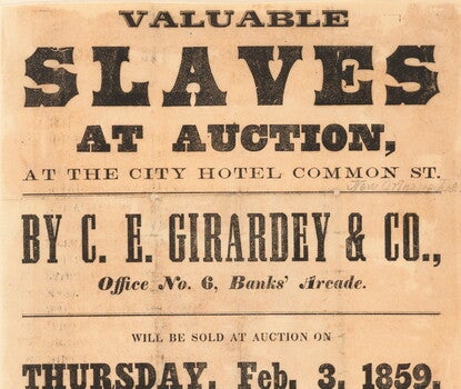
Broadside Advertising “Valuable Slaves at Auction” in New Orleans
1859
Explore how the labor of enslaved people was advertised.
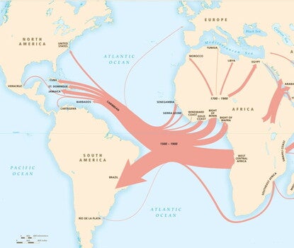
“Overview of the Slave Trade Out of Africa, 1500–1900”
by David Eltis and David Richardson
View the varying points of departure and arrival of enslaved people.
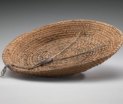
Rice Fanner Basket
pre-1863
View this artifact of rice cultivation by enslaved people on the South Carolina coast.
“Our Claims Are on America”
1828
Read this excerpt from an oration by Thomas Jennings on Black identity.
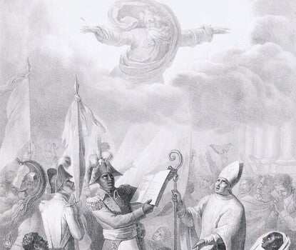
Preliminary Declaration from the Constitution of Haiti
1805
Read a translation of some of Haiti’s founding principles as an independent nation.
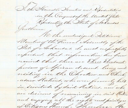
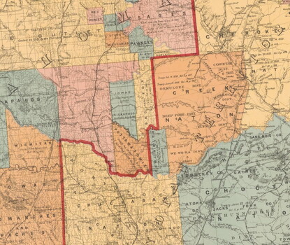
Arkansas Petition for Freedmen’s Rights
1869
Read a petition on behalf of formerly enslaved African Americans on indigenous territory requesting tribal citizenship and benefits.
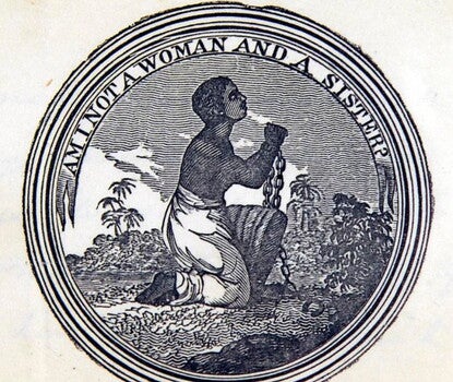
Am I Not a Woman and a Sister?
ca. 1833
View this visual representation of a rallying cry for abolition among Black women.
“Petition to the Virginia House of Delegates”
1784
Read this plea written by Sarah Greene, a formerly enslaved woman caught in a legal fight.
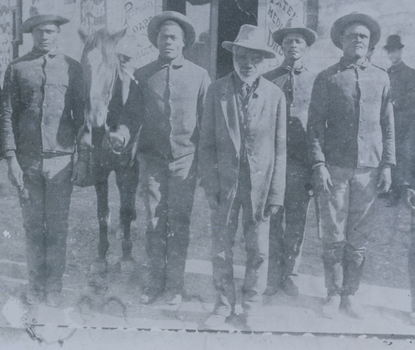
African Americans in the Seminole Nation
by Rachel Sarah O’Toole
Explore how maroons and self-emancipated people joined the Seminole community.
Black Women’s Activism in Free Black Communities
with Carla L. Peterson
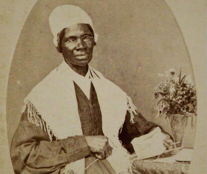
Learn how Black women such as Maria W. Stewart and Sojourner Truth organized for their communities.
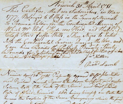
Doctor Cuffee Saunders
1781
Read about how Cuffee Wells Saunders gained his freedom.
Emancipation on Indigenous Lands
with Jeffrey Kerr-Ritchie
Learn more about the reach of the Thirteenth Amendment in American Indian nations.
Showing results 37 - 48
