Lesson by Tim Bailey
Essay by Jay H. Buckley, Brigham Young University
Grade Level: 3–5
Number of Class Periods: 4
Primary Era: The New Nation, 1783–1815
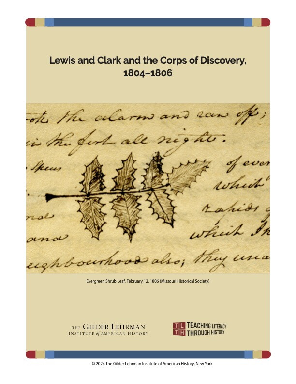
The four lessons in this unit explore the Lewis and Clark Expedition, which mapped the Louisiana Purchase. Students will read entries from the journals written during the expedition and analyze drawings made during the journey. You will assess students’ understanding through classroom discussion and completed activity sheets.
Lesson Plan Author: Tim Bailey
Historical Background Essay by: Jay H. Buckley, Brigham Young University
CCSS.ELA-Literacy.RI.3.1 Ask and answer questions to demonstrate understanding of a text, referring explicitly to the text as the basis for the answers.
CCSS.ELA-Literacy.RI.4.2 Determine the main idea of a text and explain how it is supported by key details; summarize the text.
CCSS.ELA-Literacy.RI.4.5 Describe the overall structure (e.g., chronology, comparison, cause/effect, problem/solution) of events, ideas, concepts, or information in a text or part of a text.
CCSS.ELA-Literacy.RI.5.3 Explain the relationships or interactions between two or more individuals, events, ideas, or concepts in a historical, scientific, or technical text based on specific information in the text.
CCSS.ELA-Literacy.W.5.1.b Provide logically ordered reasons that are supported by facts and details
What challenges did the explorers face?
What did the explorers see and record?
What were the explorers’ accomplishments?
Selected Entries from the Corps of Discovery Journals, May 14, 1804–September 23, 1806
Images from the Lewis and Clark Expedition, from Voorhis Journal No. 2 and Voorhis Journal No. 3 from the Missouri Historical Society
“Summaries of the Expedition’s Movements and Activities” adapted from “A Timeline of the Trip,” Lewis and Clark: The Journey of the Corps of Discovery