Self-Paced Courses: Explore American history with top historians at your own time and pace!
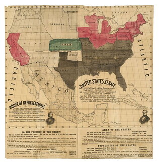
1856 ca.
To the free men of the North [election] [large cloth-backed lithographed map]
Free Labor Party abolitionist map used during the 1856 presidential campaign, printed, with hand-coloring in red, black and green.
GLC06662
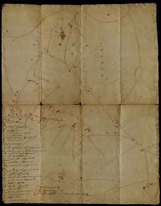
1697
Unknown
Map of northern New York and part of Canada
GLC03107.02046
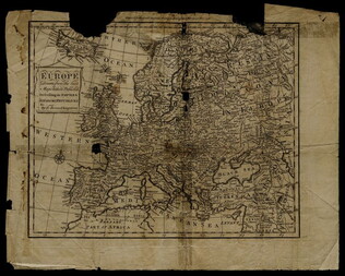
1758
Bennett, R. (fl. 1758)
Map of Europe describing its empires, kingdoms, and republics
GLC03107.05299
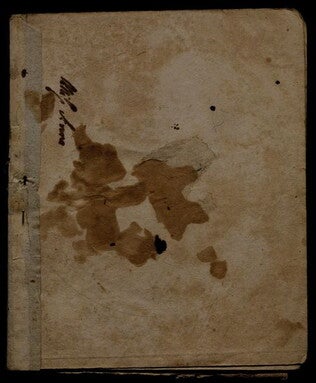
[n.d.]
Lincoln & Edmands
Book of maps
The maps include the world, Asia, Europe, Africa, North America, South America, and New England States.
GLC03107.05320
17 August 1900
unkown
Upper Silesia Plebiscite Area
Shows area of developed mineral resources, including coal bearing area. Also includes railways and district boundaries. Red line for final British proposal, Blue for French, and Green for League of Nations lines.
GLC02766.003
1831
Oberschlesien in Jahre [German]
Includes former and current boundaries.
GLC02766.005
Oberschlesien in der Gegenwart [German]
Upper Selesia.
GLC02766.006
Karte Von Schlesien [German]
Map of Selesia.
GLC02766.007
1871 - 1910
Bevolkerungsbewegung 1871 - 1910 [German]
Population Growth.
GLC02766.008
Upper-Silesian Plebiscite-Area
Final Results of the Plebiscite shown by districts.
GLC02766.009
Showing results 21 - 30