Self-Paced Courses: Explore American history with top historians at your own time and pace!
30 March 1774
Flucker, Thomas (1719-1783)
[Map of land]
A drawn map of land, likely located in Maine, deeded to Francis Waldo from Thomas and Hannah Flucker. Shows lakes, rivers, and boundary lines. Date taken from docket.
GLC02437.10645
1895
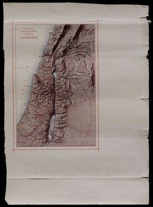
Powell, George May (1835-1905)
Powell's Light and Shade Relief Map of Palestine
GLC00687.092
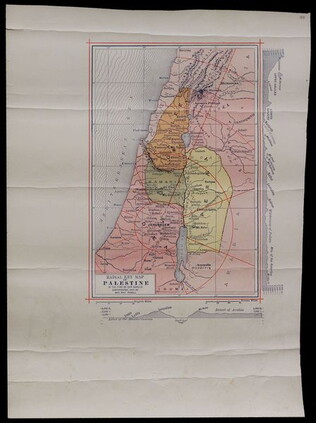
1897
Radial Key Map of Palestine in the Time of Our Saviour
GLC00687.093
1865
General Benham's winter camp near Poplar Grove Church, Va., with photo of troops
Printed map, "Winter Camp, Detachment 50th N.Y.V. Engineers" Brevet Colonel I. Spalding Commanding, near Poplar Church, Virginia, Army of the Potomac, 1865. Has been partially hand colored. An original albumen photograph of soldiers with musical...
GLC00919.26
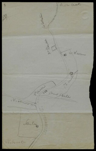
circa June 1872
Hemans, Daniel W. (fl. 1872-1881)
[Hand-drawn map of Dakota mission area]
Depicts the missions and Indian agencies along about fifty miles of the Missouri River west of Sioux City. Hemans discusses making the map for Frances Shiras to answer her question about the spatial relationship between the Santee, Yankton, and Ponca...
GLC02429.03
Showing results 1 - 5