Self-Paced Courses: Explore American history with top historians at your own time and pace!
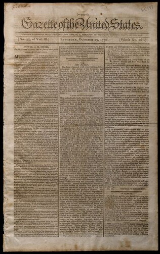
29 October 1791
Fenno, John (1751-1798)
Gazette of the United States. [Vol. 3, no. 53 (October 29, 1791)]
Contains Washington's proclamation on rules for building in Washington, D.C. as well as a list of members of the Second Congress.
GLC06961
1792
Ellicott, Andrew (fl. 1792)
[Map of Washington, D.C.].
Engraved folding map removed from the "Columbian Magazine." Included with a letter from Thomas Jefferson to Charles W. Dumas (GLC07104.01).
GLC07104.02
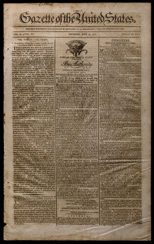
19 June 1790
Gazette of the United States. [Vol. 2, no.20 (June 19, 1790)]
Whole no. 124. re: Notice of Rhode Island's ratification of the Constitution; Washington's letter to Hebrew Congregation of Savannah; etc.
GLC07270
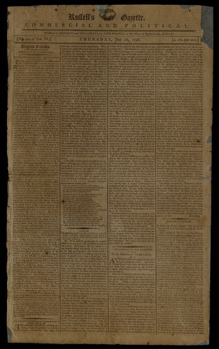
26 July 1798
Russell, John (1764?-1831)
Russell's gazette commercial and political [Vol. IV, no. 41 (July 26, 1798)]
Prints a lot of news pertaining to the Quasi French War. Contains an excerpt from a speech by Theodore Dwight analyzing Thomas Jefferson's Spring 1797 "Mazzei" letter as "a perfect compendium of the French, and anti-federal policy, as exhibited in...
GLC04468.02
10 March 1792
Russell, Benjamin (1761-1845)
Columbian centinel. [Vol. 16, no. 52 (March 10, 1792)]
Prints the federal act to establish the U.S. Post Office and post roads in the United States. Also includes local news, news from France and England, shipping news, and public notices.
GLC01508
1783/11/29
Independent New-York Gazette, Num. II
Published by John Holt, printer to the state of New York. Prints the Treaty of Paris on front page. Also contains Governor Clinton's proclamation of a cessation of hostilities between the U. S. and Britain.
GLC01510
1784
Hills, John (fl. 1771-1796)
Sketch of the position of the British forces at Elizabeth-Town Point
Original by John Hill. Oversize engraved map with hand coloring of troop positions. Engraved by Faden. Nebenzahl, Battle Plans of the American Revolution, 146.
GLC01858
4 July 1788
J. Dunlap and D.C. Claypoole (1784-1790)
The Pennsylvania packet, and daily advertiser. [No. 2939 (July 4, 1788)]
Prints a description of the order and accoutrements of a procession in honor of the establishment of the Constitution. Articles on commerce and foreign intelligence. Contains news from Europe and around the country and many advertisements....
GLC02432
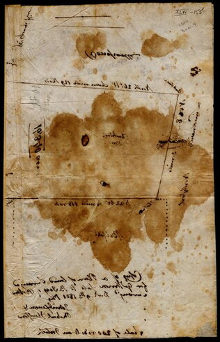
9 December 1801
Gleason, John (fl. 1796-1811)
[Copy of a survey map of land sold by Henry Knox to B. Joy of Boston]
Gleason and Robert Houston sign as surveyors. Depicts 16,340 acres of Waldo Patent land flanked by these notations: "Green, Waldo Heirs, Knox, Belfast, Northport, Lincolnville, and Bonapartte." A list of names is written in pencil within the area...
GLC02437.10341
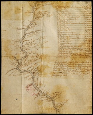
23 July -6 August 1784
Galbraith, P. Bartrem (fl. 1784)
[Map of the Susquehanna River]
Drawn map of a portion of the Susquehanna River, with creeks, forts, and ferry landings noted. Also includes the distances to various points on the map. Noted as drawn above Canawago Falls, which is in Pennsylvania.
GLC02437.10583
Showing results 11 - 20